Overview
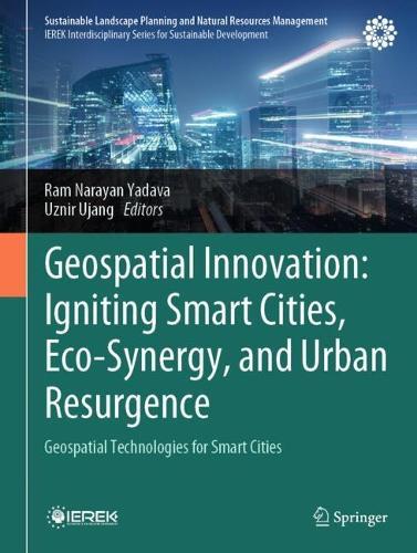
This book presents cutting-edge research and applications in geospatial data acquisition, 3D GIS, digital twins, and remote sensing to address urban challenges like climate change, disaster risk, and energy efficiency. This book explores the transformative role of geospatial technologies in shaping sustainable, resilient cities. Featuring global case studies, it offers insights into integrating smart city solutions with environmental conservation. Designed for researchers, urban planners, policymakers, and professionals, this volume bridges theory and practice, providing frameworks and strategies for future-ready cities.
Full Product Details
Author: Ram Narayan Yadava ,
Uznir Ujang
Publisher: Springer International Publishing AG
Imprint: Springer International Publishing AG
ISBN: 9783031969645
ISBN 10: 3031969642
Pages: 284
Publication Date: 29 October 2025
Audience:
Professional and scholarly
,
College/higher education
,
Professional & Vocational
,
Postgraduate, Research & Scholarly
Format: Hardback
Publisher's Status: Active
Availability: Not yet available

This item is yet to be released. You can pre-order this item and we will dispatch it to you upon its release.
Author Information
Prof. Ram Narayan Yadava is Advisor for Research & International Affairs at Mansarovar Global University, India. He has served as founding Vice Chancellor of AISECT University and has been instrumental in the establishment of Advanced Materials and Processes Research Institute (AMPRI) under CSIR, India. His expertise spans hydrologic modeling, environmental quality, water resources, and R&D management. Prof. Yadava has led multiple research projects in remote sensing, mathematical modeling, and technology forecasting. He has published over 100 journal articles, four textbooks, and 16 edited reference books. Recognized for his contributions to hydrology and environmental sciences, he has delivered invited lectures across numerous international institutions. He is also Vice President of the International Association of Water, Environment, Energy, and Society. Prof. Muhamad Uznir Ujang is Associate Professor and Head of the 3D GIS Research Group at Universiti Teknologi Malaysia (UTM). A leading expert in spatial science, he specializes in 3D GIS, smart cities, topology, and spatial data structures. He has played a key role in research and development related to urban modeling and geospatial technologies. Prof. Uznir has authored over 100 scientific publications and holds 12 intellectual properties, including patents and copyrights. He is an active member of several professional organizations, including the Malaysia Board of Technologists (MBOT), Royal Institution of Surveyors Malaysia (RISM), and the International Society of Photogrammetry and Remote Sensing (ISPRS). His research integrates 3D city modeling, artificial intelligence, and geospatial analytics, contributing to smart city innovations.


